
Jal Shakti Minister Unveils Punah Bharan App for Scientific Groundwater Recharge

New mobile application and web portal leverage geospatial tech for sustainable water management.

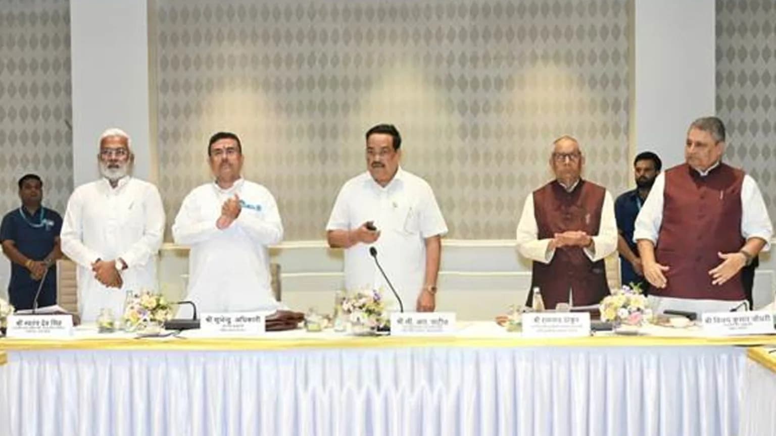
Five men in traditional Indian attire stand behind a table at a formal event.
The Punah Bharan app supports scientific groundwater recharge planning using geospatial technology.
Key Points

The Punah Bharan mobile application and web portal, launched by Union Jal Shakti Minister C.R. Paatil, support scientific groundwater recharge planning by identifying potential zones and suitable structures using geospatial technology.

  • Union Jal Shakti Minister C.R. Paatil launched the Punah Bharan app.
  • The app facilitates scientific groundwater recharge planning.
  • It uses geospatial technology to identify artificial recharge zones.
  • Users can find suitable recharge structures within a 3-kilometre radius.
  • A web portal offers village-level zonation maps and GIS tools.
  • The platform utilizes data on rainfall, groundwater levels, and slope.

Union Jal Shakti Minister C.R. Paatil on Wednesday launched the Punah Bharan mobile application to support scientific groundwater recharge planning using geospatial technology.

Developed by BISAG-N in collaboration with the National Water Mission under the Ministry of Jal Shakti, the app enables users to identify potential artificial recharge zones within a radius of up to three kilometres and explore suitable recharge structures based on local conditions.

An accompanying web portal provides village-level Artificial Recharge Structure zonation maps, geographic information system tools and thematic layers to support planning for sustainable groundwater management.

The platform uses datasets on rainfall, groundwater levels, groundwater yield, slope and drainage to identify potential recharge areas and guide appropriate interventions.

Published: Wednesday, 28 October 2026 | 1:57 PM IST

Share this story

WhatsAppFacebookXTelegram